Sani –
The second trip up the
Intro:
After thoroughly enjoying the 1996 trip we had to
come down to Sani again.
This time around we didn’t go to Roma; Sani was a
much better option and gave us the riding we wanted.
We also decided to give the back packers lodging a
miss this time and rent a self-catered chalet a little closer to Himeville.
We went down on the same long weekend in August,
again leaving before dawn on the Friday so we could get at least two days good
riding.
|
Underberg |
|||
|
|
|||
|
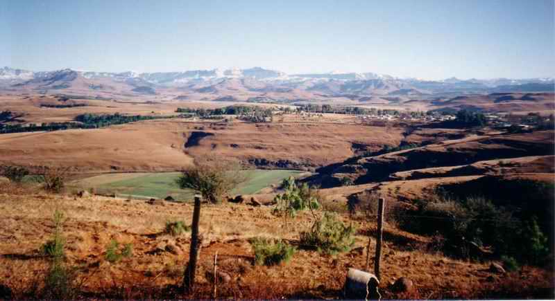
This is an outlook over
the town of Underberg is a small town
in the southern-central Drakensberg area. We normally filled up the bikes
here (they were on our home-made trailer) and got some other bits and pieces. |
|||
|
|
|||
|
Chalet 1 |
|||
|
|
|||
|
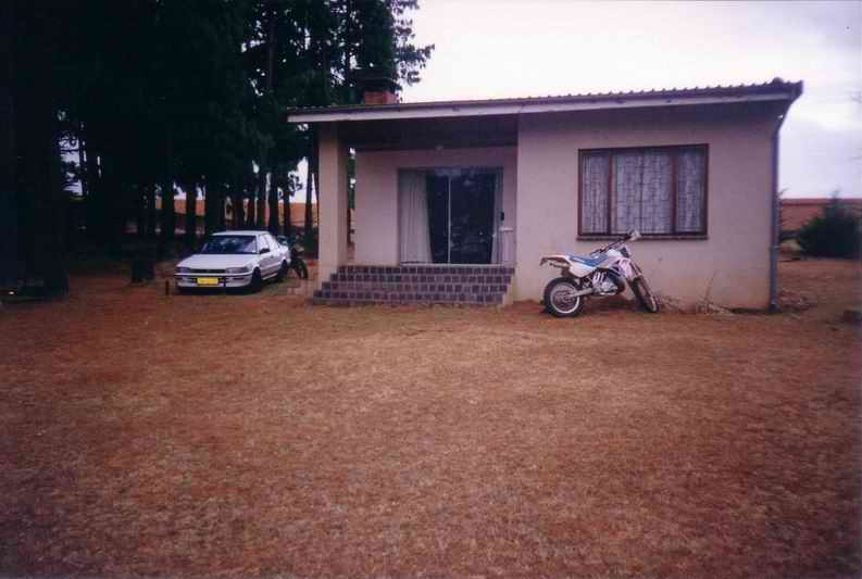
This is the chalet we
rented on recommendation of my brother in law. It was a lot better than the
back packers lodging we stayed in the previous year! A basic two bedroom type
with a kitchen and living room / dining room. It had a nice hot shower
and also had a open log fire that kept us warm. The This chalet belonged to
a old farmer that rented it out fairly cheaply. He could have spent some
money on it and made it a lot more marketable but I think he wasn’t really
that worried. His farm house was over to the left of this picture. |
|||
|
|
|||
|
Chalet 2 |
|||
|
|
|||
|
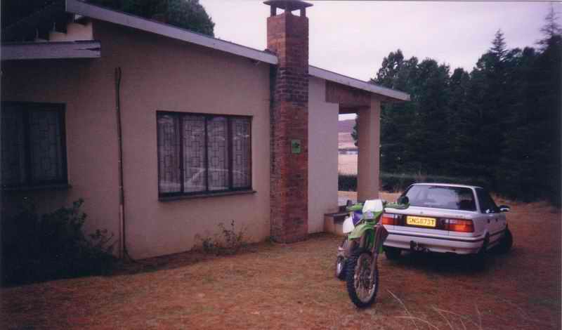
Another picture of the
chalet. JR had a new bike at
this point, a Kawasaki KDX200. A very good little bike, and I say little only
because it was small in size; with JR riding it was quicker than KTM 300’s,
KTM 360’s, Honda CR250’s and most other bikes. JR kept it in good shape
and it never missed a beat, he bought it out the crate which is probably the
best with dirt bikes. |
|||
|
|
|||
|
Chalet 3 |
|||
|
|
|||
|
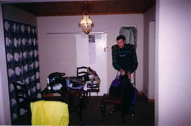
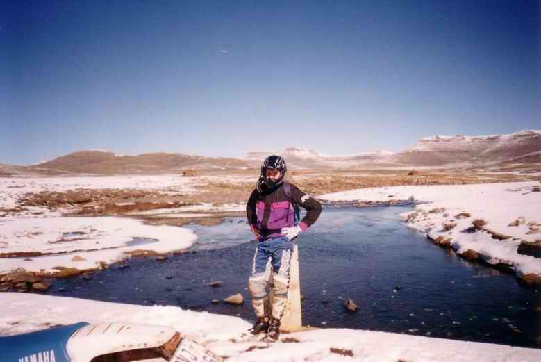
JR kitting up on the
Saturday morning. Although we had a good ride on the Friday, Saturday was
always the best as we made sure that we were at the border control at 8:00am
sharp to miss the traffic. |
|||
|
|
|||
|
In the clouds |
|||
|
|
|||
|
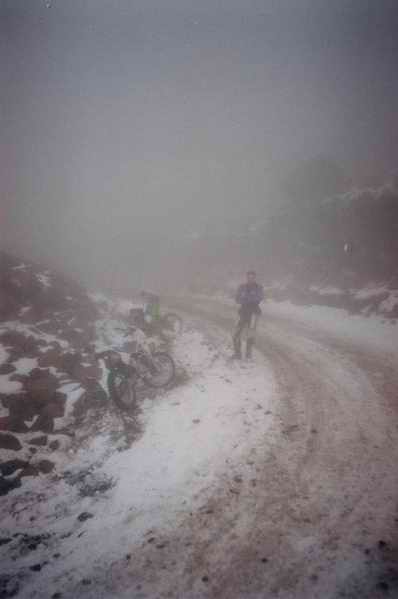
We had passed through
the border control here and started up in the clouds. We had hit the snow on the
pass and ran into the same problem of zero traction. We decided to take a few
pictures here and have a break. We had both put on a new
rear knobbly so that we got the maximum possible traction but it didn’t
really help that much. |
|||
|
|
|||
|
Snow Corner? |
|||
|
|
|||
|
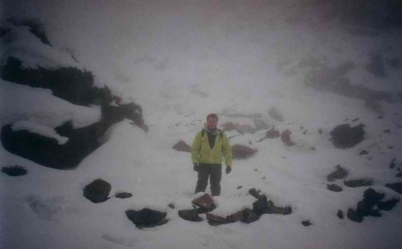
I was standing in some
snow off the pass here. This time around it was not ice! |
|||
|
|
|||
|
Above the clouds 1 |
|||
|
|
|||
|
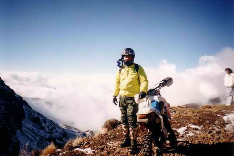
We started coming
through the clouds here and it was a really good view. |
|||
|
|
|||
|
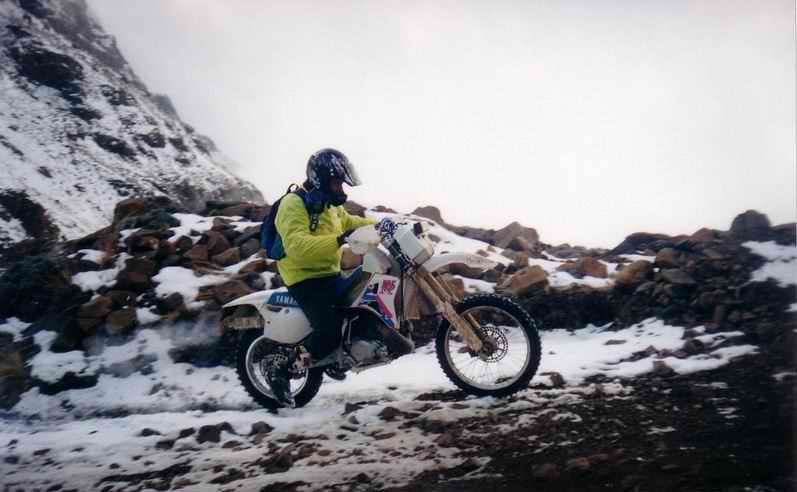
WR |
|||
|
|
|||
|
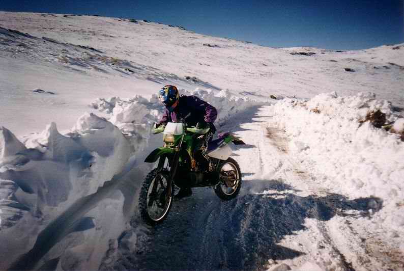
This is me hacking my
way up the pass. The bike is slipping and spinning all the way up here, I’m trying
to get a bit of weight over the rear while keeping it shiny side up. I put an Acerbis 5 litre
header tank on the bike this time as we were determined to get over Black
Mountain and all the way to Mokhotlong and weren’t sure about the fuel
situation there. As it turned out there was petrol (and even 2-stroke oil!)
to be had, it was finding it that was the problem. When we got to
Mokhotlong we rode up and down the main street looking for fuel and all we
could find was diesel and paraffin! The petrol station (two pumps in a field
next to a shack) was on a hill at the entry of the main street. |
|||
|
|
|||
|
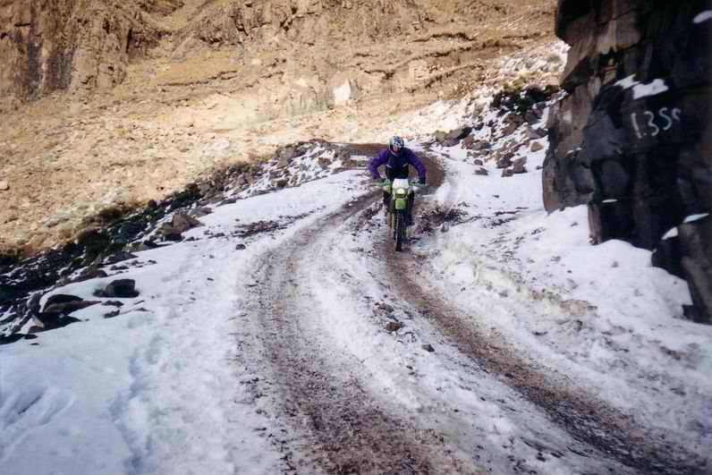
Snow Switchback |
|||
|
|
|||
|
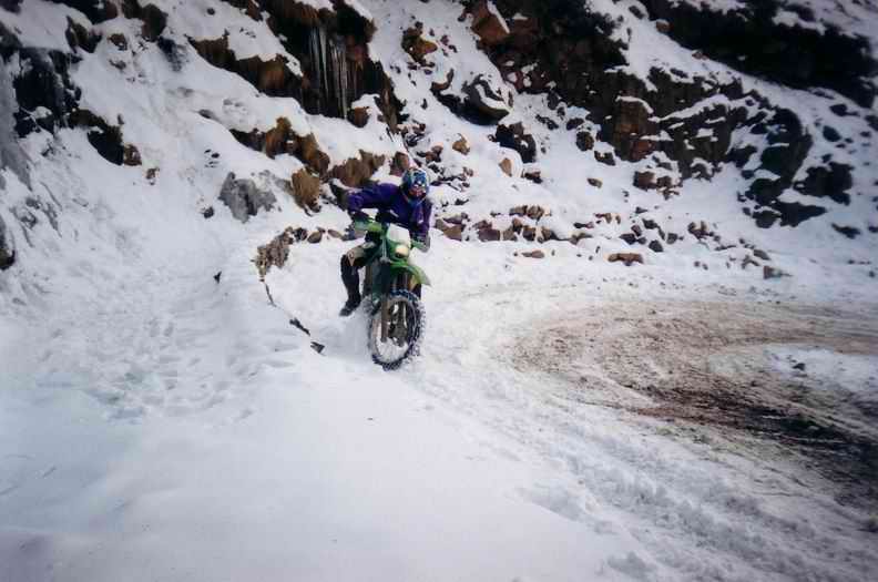
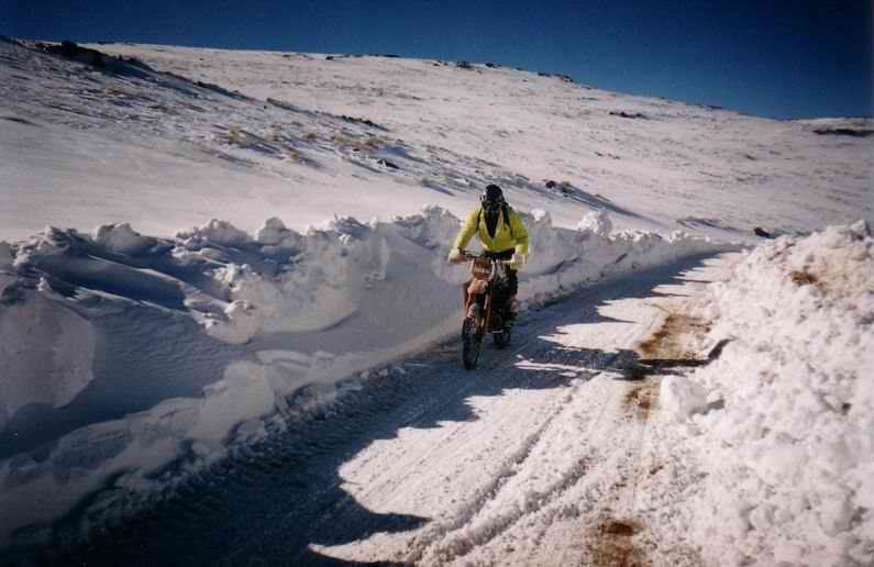
JR struggling around a
switchback. This would seem a bit
odd to most dirt bike riders – a KDX200 on full knobblies crawling around a
corner? This and the next picture shows what problems can be found when
riding on snow covered dirt roads. We had the same problem
the previous year in that snow had melted into the ground and then froze into
ice. At this point JR’s rear wheel is just slowly turning around and around.
We were trying all sorts of lines; in the snow, in the dirt, on the rocks –
anything to get traction! |
|||
|
|
|||
|
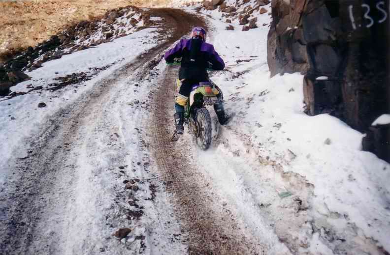
Paddling |
|||
|
|
|||
|
This is JR paddling the
bike up the pass. Here again all the dirt is
just frozen ice, a bit further up, in the sun, the road was fine – no
problems. But where the sun couldn’t reach it was all ice. Imagine taking
your bike onto an ice-rink and trying to ride without spikes. Throw in a
thirty degree slope and 2500 meters of altitude and you’ll get the picture. |
|||
|
|
|||
|
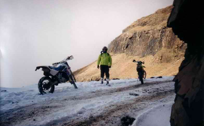
Taking a break |
|||
|
|
|||
|
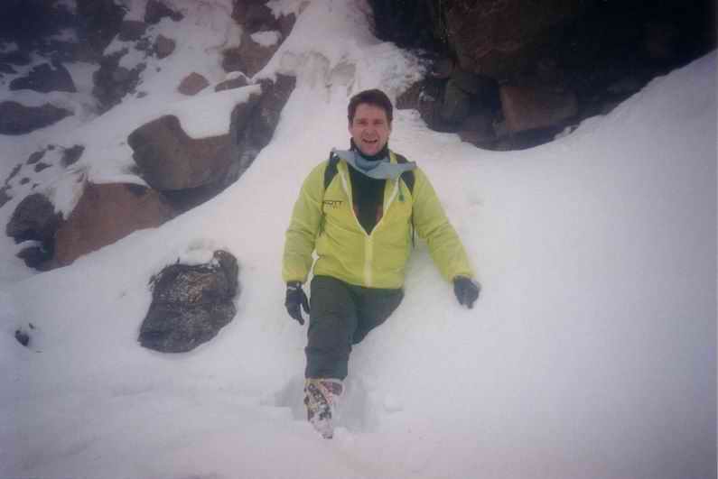
After pushing my bike up
to this point we had a quick break. |
|||
|
|
|||
|
Out at the top |
|||
|
|
|||
|
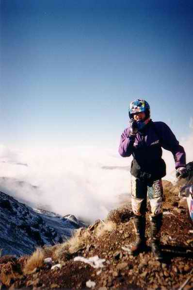
We were very near the
top here, I’d lost my number plate somewhere on the way up. Don’t know who the lady in
the picture was. |
|||
|
|
|||
|
JR at the top |
|||
|
|
|||
|
JR was saying something here,
can’t remember what it was, probably something like “take the damn picture
and let’s get going!” |
|||
|
|
|||
|
|
|||
|
|
|||
|
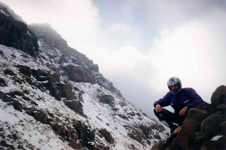
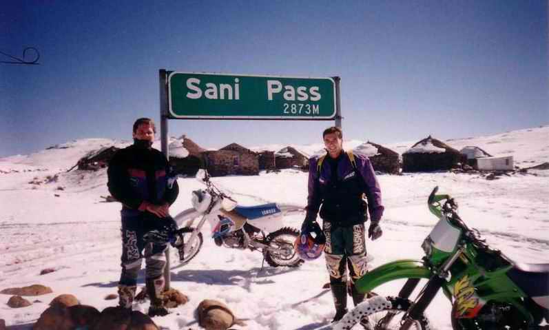
Here we are at the top
again. The top was covered in snow again and it was a good, if tricky, ride. There was a sense of
accomplishment here as it wasn’t an easy trip up. We would corner a local and
get him to take a picture. The local people were friendly and helpful. |
|||
|
|
|||
|
Bridge 1 |
|||
|
|
|||
|
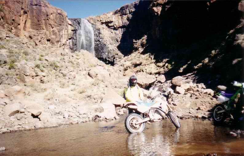
We decided to press
inland here and head for The river water wasn’t
frozen at that point but in getting on the bridge we had to ride through so
heavy snow, the remnants of which can be seen in my rear wheel. In 1999 we rode past
this point then cut back and ended up riding across the river bed. The river
bed is made up of large slabs of rock that are covered in a green slime. This
slime has a negative friction co-efficient!, it makes ice feel like loam. It
was so slippery it took us about 15 minutes to cross it. |
|||
|
|
|||
|
Bridge 2 |
|||
|
|
|||
|
Myself getting a bit of
sunshine. When we were riding back
in the afternoon we managed to pick up the pace a bit. We were splashing through
a lot of puddles and, as we were on the road, we were sitting down. Unbeknown to us the
water that was coming of the front wheel was hitting our boots and knees. As
we had so much protection on we didn’t feel this, but the water was actually
freezing on impact due to the cold ambient air temperature. By the time we got to
the Riding on ice covered
dirt roads is a bit of a lottery, you never know when you’ll go down. I was riding about a
mile from this point at about 40 kph, I thought all was going well; elbows
up, standing on the pegs, looking ahead. Then I hit a big bit of
ice; the road itself was cambered at that point and I had been unconsciously
putting some pressure on the bars to counteract this. When I hit the ice the
front lost traction, the bars went from straight ahead to onto the lock-stop
instantly. The yokes hit the lock-stop so hard it actually rebounded back a
bit. Then I was off the ice, the bars were pointing as far right as they
could and then front found traction again. Still not sure how I
saved that one. |
|||
|
|
|||
|
Snow Angel |
|||
|
|
|||
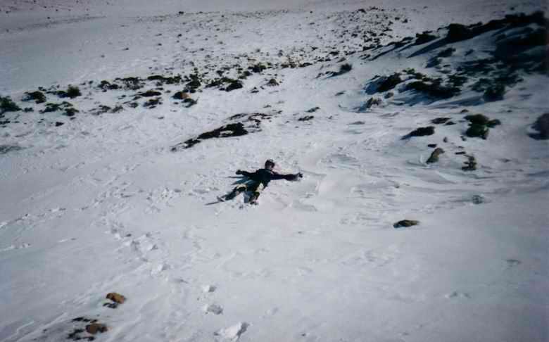
|
JR doing his
‘snow-angel’ thing. Silly boy… |
|||
|
|
|||
|
|
|||
|
|
|||
|
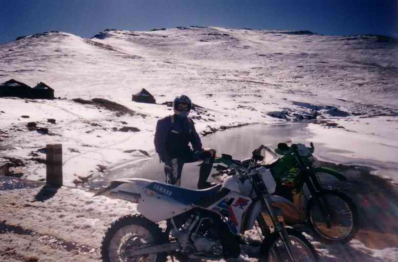
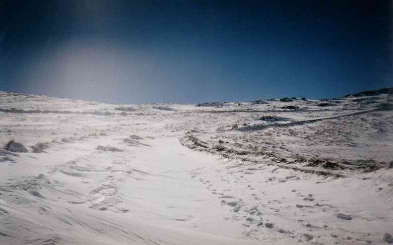
Here we are stopped
halfway up In riding up here we hit
‘waves’ of snow on the road – basically drifts that had built up across the
road. Each wave slowed us down a little bit more and we gradually lost
momentum going up this pass. Not what we wanted –
every time we hit a wave we would gas it, but the ground underneath was ice
so the bike would just spin up. To get around this we gassed it between the
waves but eventually the road was covered in snow. We decided then to stop
and have lunch. When I was riding down I
could put my boots out in front of me and it looked like I was water-skiing!
The snow would flow off the edges of the boot like water. |
|||
|
|
|||
|
|
|||
|
|
|||
|
Another picture in the
same place. |
|||
|
|
|||
|
Digger |
|||
|
|
|||
|
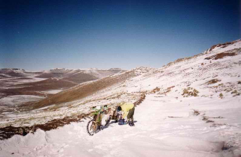
There’s a JCB clearing
down At this point the snow
on the road was so heavy we couldn’t get any further so we were glad to see
it. We hung around for about 30 minutes but realized that the JCB was going
very slowly. We took a walk a bit further up (foot prints) and decided to hop
the bikes on the road edge (right side) and ride up to the JCB. We got up
there and dropped in behind the JCB and continued. The driver of the JCB was
quite surprised to see us. |
|||
|
|
|||
|
|
|||
|
|
|||
|
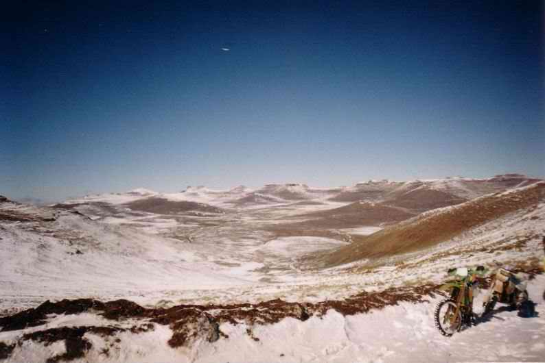
This is very close to
the top of the The JCB had been through
here and we were moving along slowly trying to get over the pass. Again the
ground here is frozen dirt so it’s just like ice. I’m trying to balance the
WR while JR takes this picture. The snow here was powder, pretty soft to
touch, it would have made for good skiing. |
|||
|
|
|||
|
|
|||
|
|
|||
|
I tried to take a
picture of JR the same as the one above but as I snapped the KDX started
coming around. The ice would make this
happen every few minutes so we really had to focus. I think JR hit the snow
here and scrapped along a bit but he didn’t go down. |
|||
|
|
|||
|
Road to Mokhotlong |
|||
|
|
|||
|
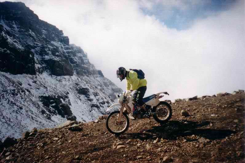
This is on the way down
towards Mokhotlong. After we got over the top of To my infinite regret I
didn’t take more pictures; this side of the pass had a lot less snow so the
riding was better. The road was a winding two track that goes on for about 20
kilometres, it was fast and challenging as there were positive and negative
cambers and not much room for mistakes. At times I had the WR on the limiter
in 5th for quite a while. |
|||
|
|
|||
|
Riding down 1 |
|||
|
|
|||
|
JR coming down |
|||
|
|
|||
|
Riding down 2 |
|||
|
|
|||
|
This is me starting the
descent down Sani. Sunshine means no snow or ice here! |
|||
|
|
|||