Sani –
The fourth and last trip up the
Intro:
This time around we couldn’t get out usual chalet
so we stepped up and bit and got a very decent B&B.
|
B&B |
|
|
|
|
|
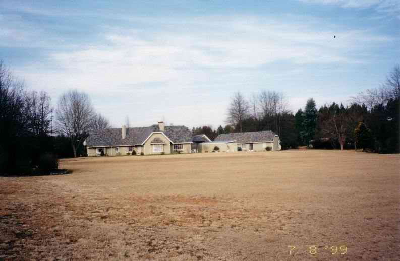
This homestead was quite
large and very well maintained. I think the owner was farming trout in the
dams. The cottage that we rented was to the right, lots of space and very
clean. JR’s father joined us
that year, he’s got some pretty good stories that we shared over dinner at the
Himeville arms. He was a Tempest (or Typhoon? Can’t remember which one) pilot
during WWII and also was in the Special Air Services. As I recall JR was
popping the flu-tabs as he was full of cold that year. I only remember this
as we shared a room and he snored like V8. |
|
|
|
|
|
Off road |
|
|
|
|
|
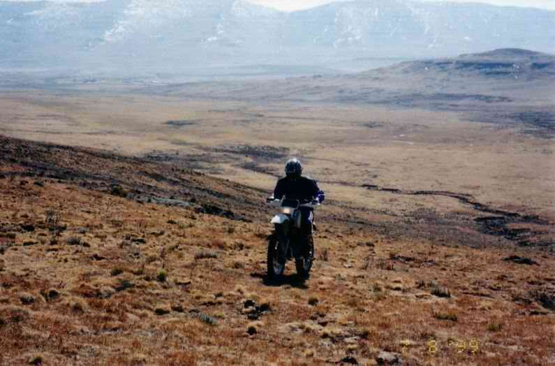
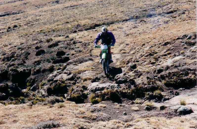
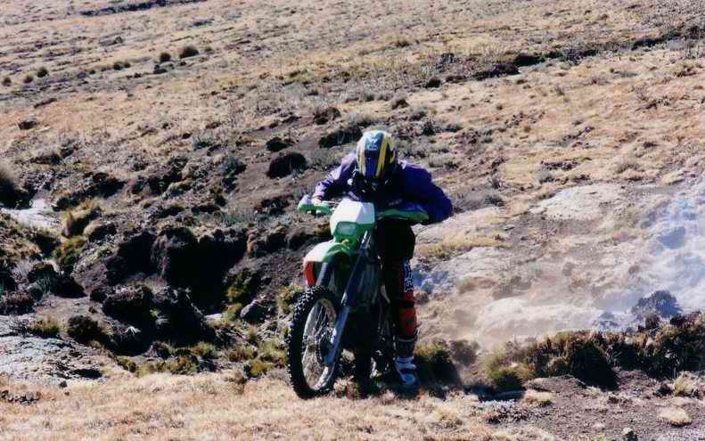
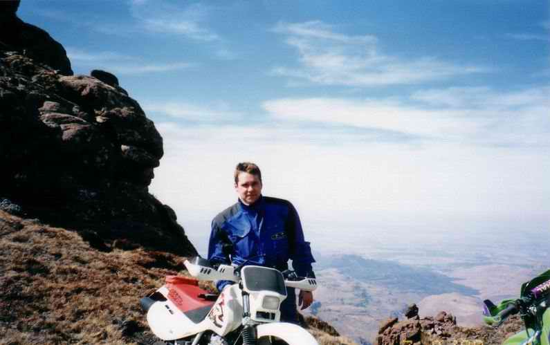
This is one the approach
to A lot of the ground is
very water-laden. I would be riding along and then the bike would drop into
mud and come to a sudden stop. Nothing bad, but it had almost had me over the
bars now and again. As can be seen there
were no trails. I think this good as we were dead against using trails due to
the resultant erosion. We tried not to ride on the same piece of ground
twice. |
|
|
|
|
|
Riverbed |
|
|
|
|
|
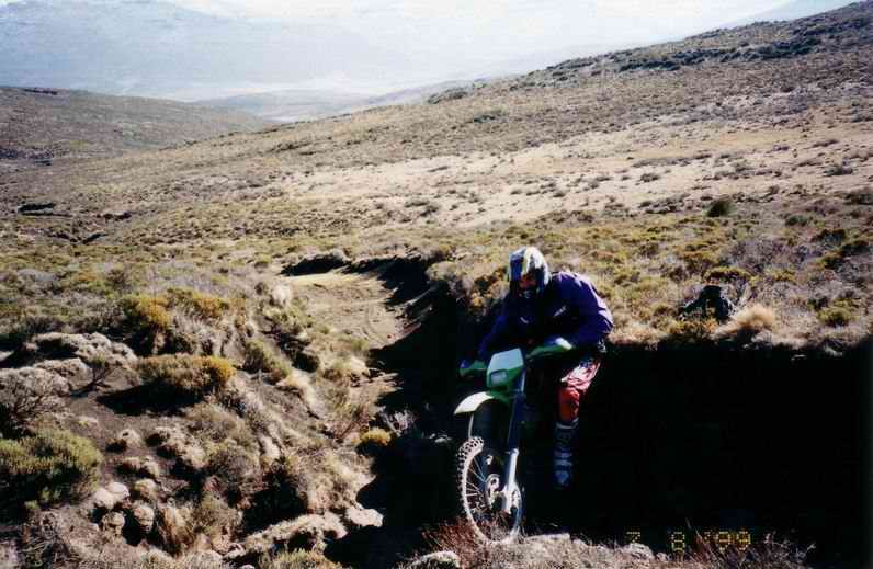
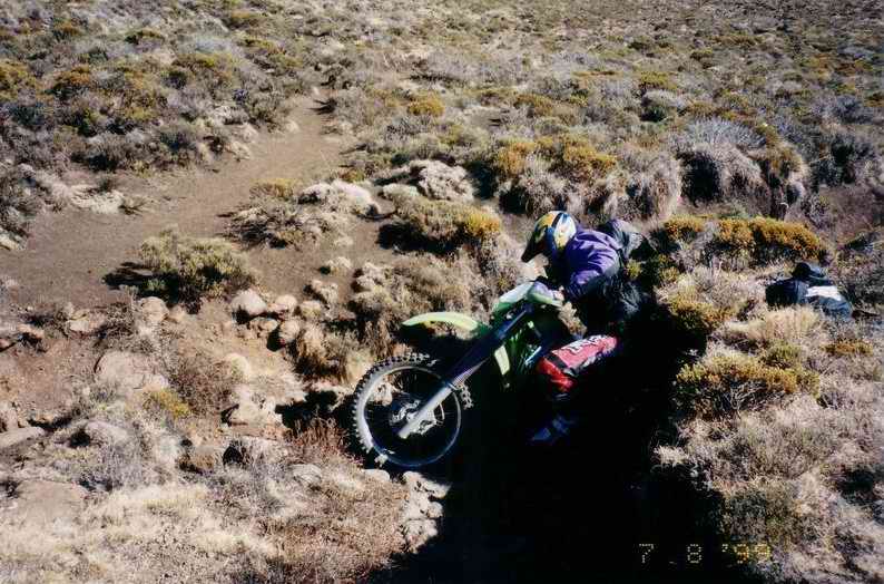
JR riding up and out of
a riverbed. The ground here was very dry, as winters are in SA, and a veld
fire been through there and burned a lot of the grass. All that was left were
these solid tussocks that had to be avoided. |
|
|
|
|
|
|
|
|
|
|
|
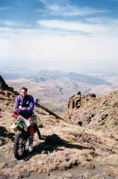
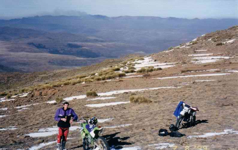
Pictures of JR and
myself in the saddle between the peaks. The two peaks on either side were about
3250 meters above sea level. The wind came howling
through this gap, and it was a cold wind. Needless to say we didn’t stay
there that long. |
|
|
|
|
|
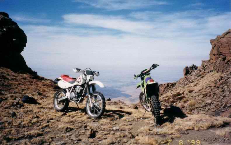
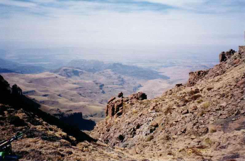
Black Mountain again |
|
|
|
|
|
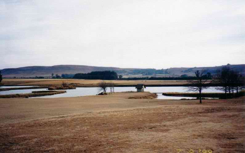
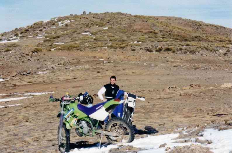
Our usual stop on top of
This was the sum total
of the snow that year. |
|
|
|
|